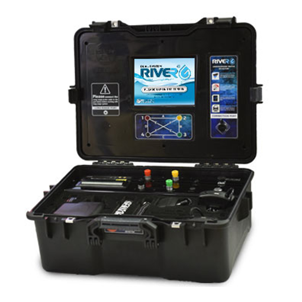
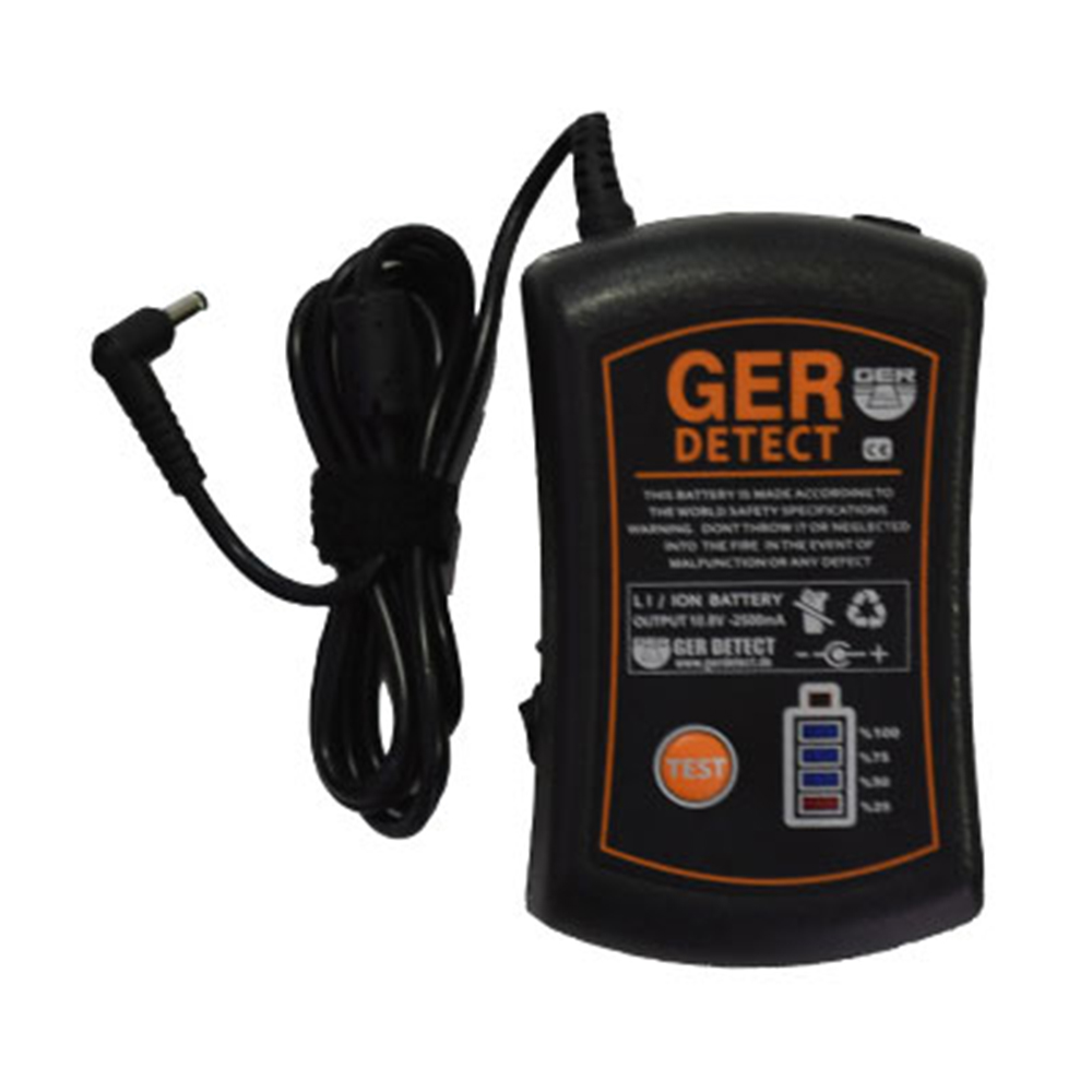
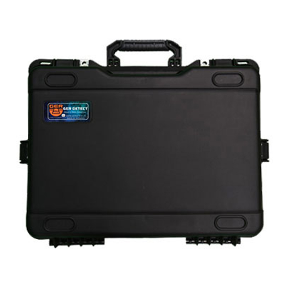
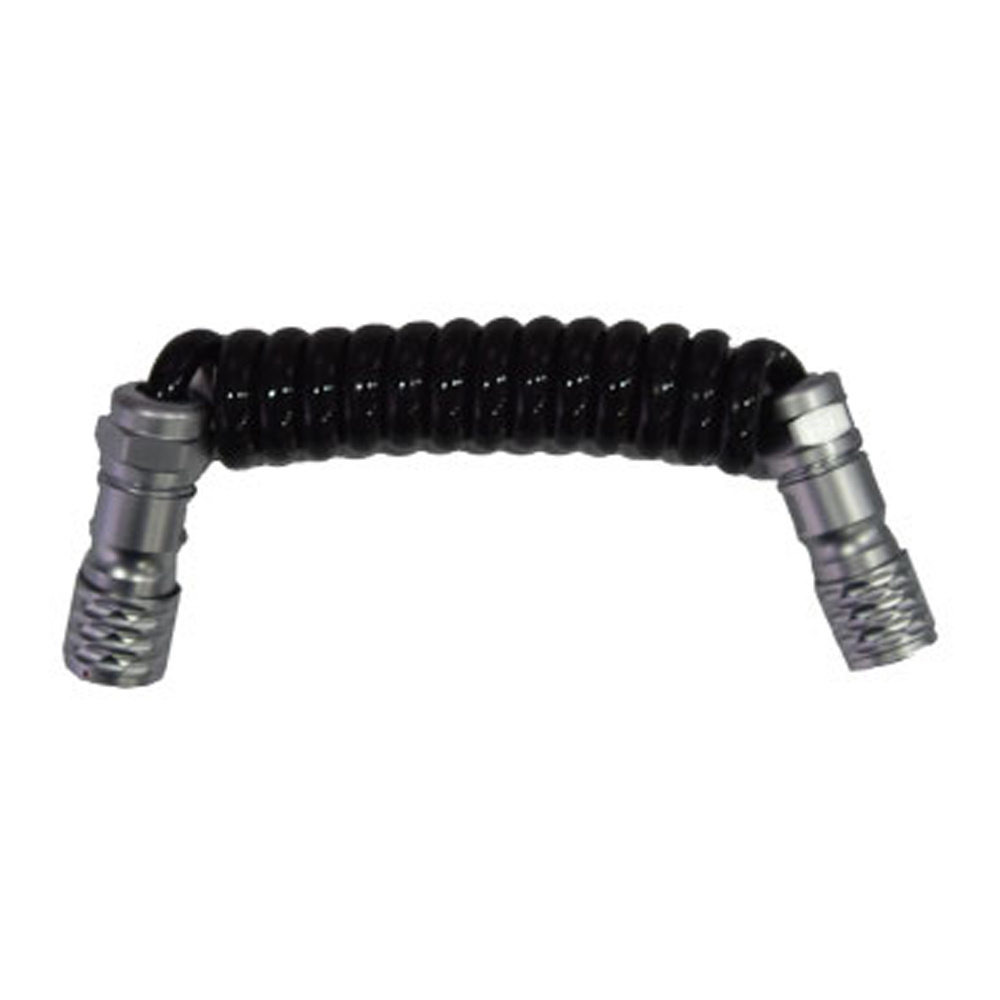
We would like to introduce the new flagship underground water detector.
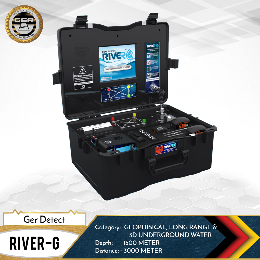
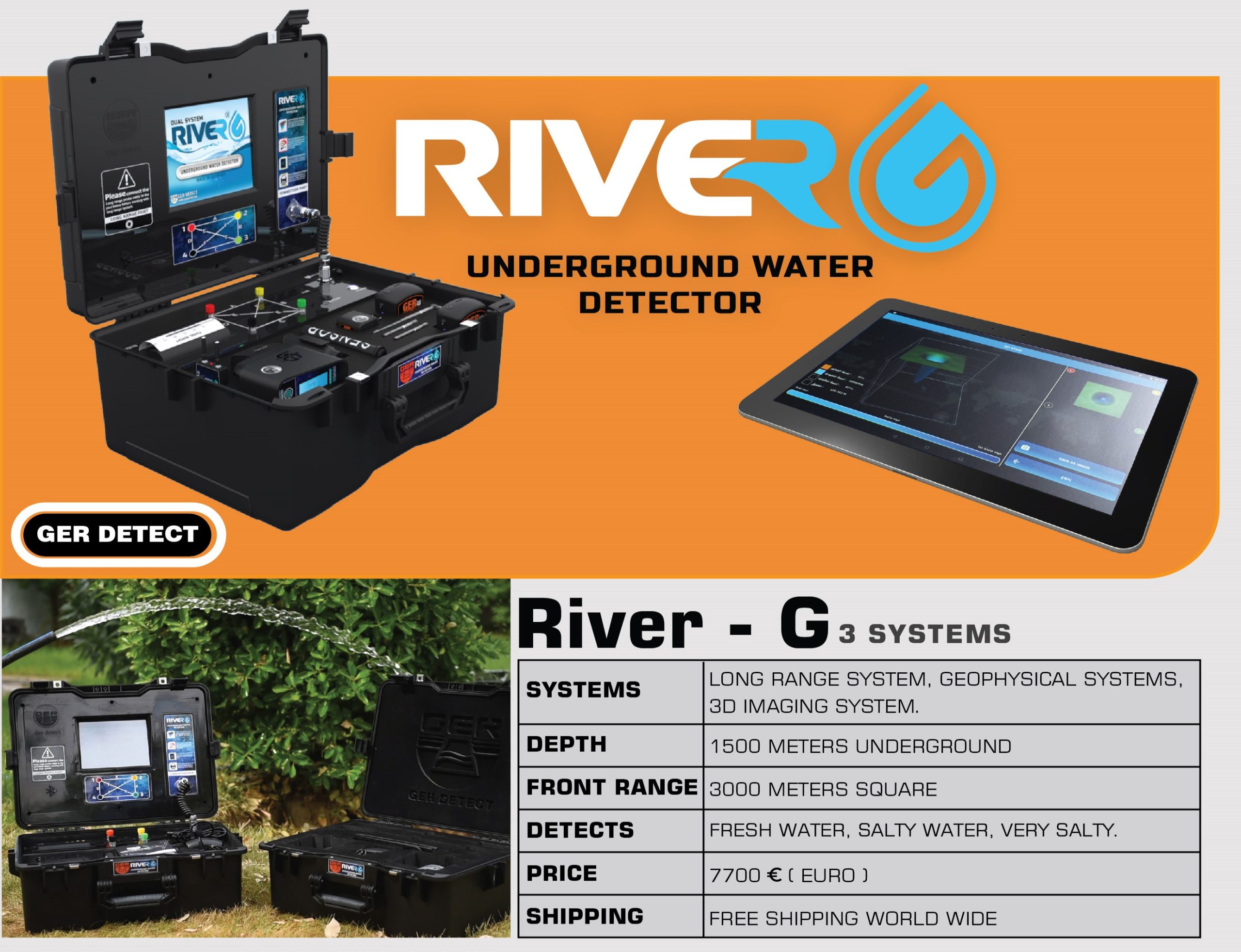
The RIVER G 3 systems is the latest word of the new generation water detector on the market today, with a huge front range up to 3000 meters and 1500 meters depth.
The RIVER G is building from a 3 different water search systems, Long-Range system, 3D imaging system and Geophysical system.
The new River G device is one of the most advanced product from Ger-Detect manufacture in Germany and has a high quality standard , which put him for Nr.1 on the selling market around the world.
The River G characterized by three systems for the detection of groundwater, artesian wells and borewells in the ground.
The first system, Long-Range will help you to find the water location and will bring you directly to your request point.
The second system, 3D imaging scan system, will allow you as a user to receive some of water analysis results. The results will show under 2 or 3 dimention with colors.
The third system, Geophysical system, will provides the user with all the data about water underground with many unique features.
Determination of the water underground depth as well as precise details of water density, salinity and type, whether it is (fresh – salty – very salty).
LONG RANGE SYSTEM
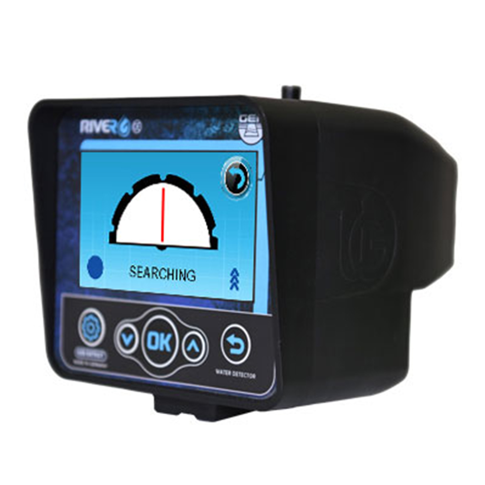
The Long Range system is the first step for the user if he would like to find the underground water location. The Long Range system has the ability to search for a long front distance up to 3000m. This system will allow the user to choose from minimal range of 500m, 1000m, 1500m…..until 3000m. The system has the ability to reach up to 1500 meters underground depth.
The new Long Range system has a few new features which makes a big upgrade for the user
- High resolution color display with touch option.
- Works with touch and keypad.
- Provides six different languages: (German – English – French – Spanish – Italian – Arabic).
- Digital compass to determine the search direction.
- Determine the type of soil according to the nature of the place to be searched (rocky – natural – mixed – mineralized – clay- sandy).


3D IMAGING SYSTEM
The 3D imaging system will report to the user through a tablet for see more accurate details of the presence of underground water layers as a three-dimensional image as well as to show some of water analysis
- Type of water with a sign indicating the best place to dig, which contains the largest amount of water.
- The depth of water detected measured by meters.
- A pie chart showing the ratio of: density – rocks, and salinity.

GEOPHYSICAL SEARCH SYSTEM
The Geophysical search system will reports for the user on the main data as depth, density, salinity and water types.
The Geophysical system has a built-in printer and will reports directly on the location and data for the user on real time.
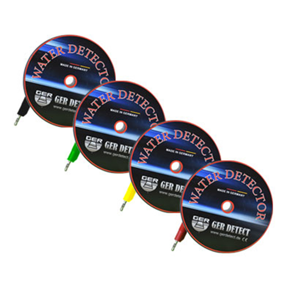
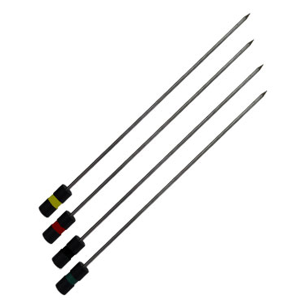
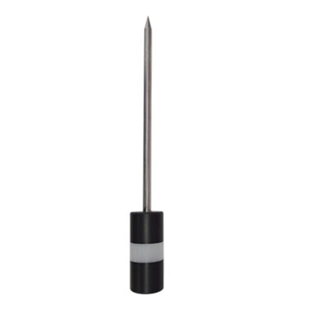
The Geophysical system is connecting with a 4 probes, Each one 70 cm long, and communicating between the underground and the main device. Through those probes and the main river g device, the user will receive the data and results on the printer online.


Technical specifications of RIVER G device
- Three search systems in one device.
- Large 8-inch screen with high resolution and provides touch option.
- A tablet for 3D imaging system, working by Android system to show a three-dimensional photo of the places of water and the distribution of rocks in the search area.
- High speed and accuracy in processing search data.
- A compact printer with the main unit that prints an immediate report of the results of water underground detection process.
- A 4.3-inch high resolution color screen for long range system and provide touch option.
- Works with touch screen and keypad.
- Provides six different languages: (German – English – French – Spanish – Italian – Arabic).
- The possibility of choosing the continent and the countries within it.
- Digital compass to determine the search direction.
- The possibility of determining the depth of underground water.
- The depth of the device reaches 1500 meters.
- The front range up to 3000 meters with the possibility of determining the required front range.
- Determine the type of soil according to the nature of the place to be searched (rock – natural – mixed – metal – clay – sand).
- Certificate of origin and warranty for two years from the date of purchase.
- The weight of the device bag is (9 kg) only.
- The bag accessories weight is (7 kg) only.
- The device works all over the world and different terrains.
- RIVER G device is one of the best German innovations with European cϵ certification according to international specifications.


